


- Home
- Ground Classes
- Air Navigation
DGCA Air Navigation Classes in Ahmedabad
Can you work out where the aircraft is, where it is going, and whether it can legally and safely carry the load you have put in it.
What the syllabus covers
- Form of the earth, direction, distance and the coordinate system
- Maps and charts: Mercator and Lambert conformal projections
- Dead reckoning navigation and the triangle of velocities
- Time, time conversion and the sunrise/sunset tables
- Radio navigation aids: ADF/NDB, VOR, DME and ILS
- Area navigation and GNSS fundamentals
- Flight planning, fuel planning and the flight plan form
- Mass and balance: loading, centre of gravity and limits
- In-flight navigation, monitoring and revision of the plan
Where candidates lose marks
- Treating the triangle of velocities as a formula to memorise rather than a picture to draw. Candidates who can sketch it never lose marks on it.
- Mass and balance questions are arithmetic, not theory, they are the cheapest marks in the paper and the most commonly dropped through carelessness.
- Chart projection questions reward understanding why a projection distorts, not remembering which one does.
The other papers
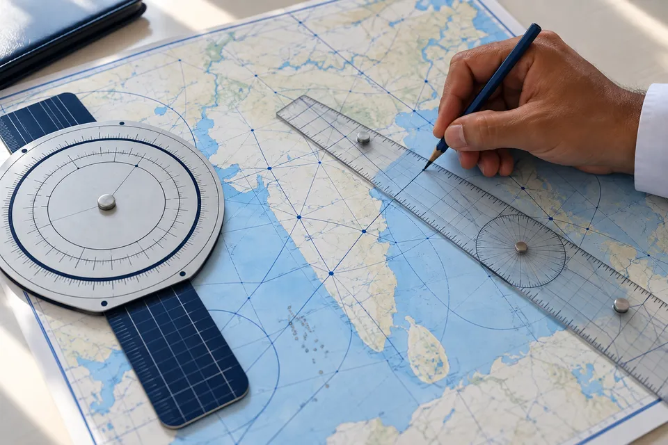
Air Navigation
Charts, flight planning, mass and balance, and radio navigation aids.
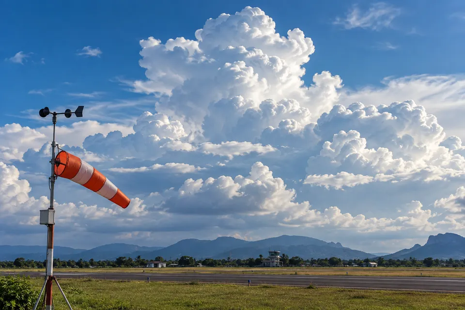
Aviation Meteorology
Atmosphere, wind, cloud, and the weather hazards that affect a flight.
Air Regulations
ICAO annexes, Indian CARs, licensing rules and human factors.
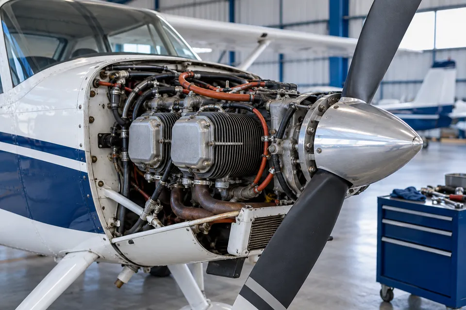
Technical General
Airframes, engines, systems, instruments and aerodynamics.
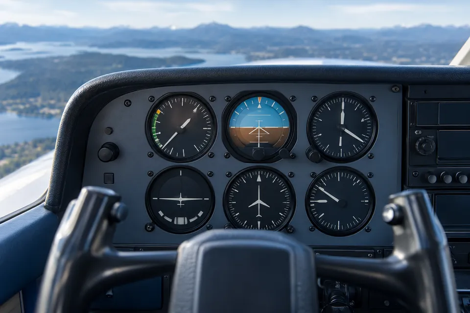
Technical Specific
Type-specific theory for the aircraft you are endorsed on.
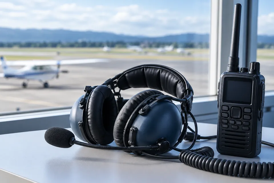
RTR(A)
Radio Telephony Restricted (Aeronautical), phraseology and procedures.
Ask us what to do next, before you pay anyone
Tell us where you have got to and we will tell you what comes next, and in what order.